“Sometimes, on Los Gatos Blvd, it’s also called Bascom because it’s divided at some point. But it’s actually the same street, just two names.”
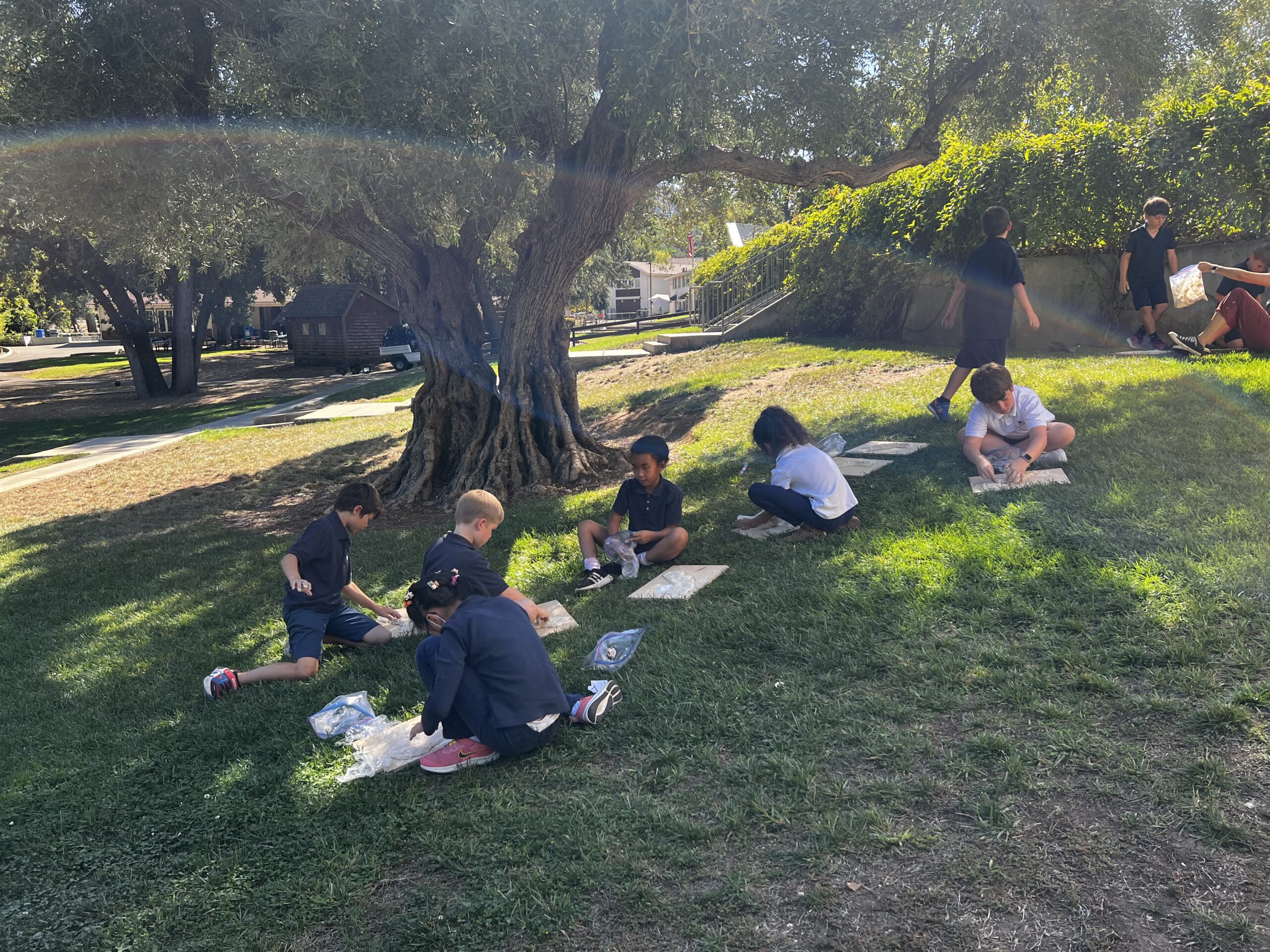
5th Grade Historians are honing their mapping skills, focused on drawing and labeling geographic features as well as the Native American Cultural Regions of the United States. Their teacher helps them make connections between mapping and what they see and notice in the land around them today.
it’s actually the same street, just two names.
Why might a river have two names? Why might the boundaries of a state follow or not follow a physical boundary?
From a basic outline, students sketch in, color-code and label 28 physical features (think mountains, plains, rivers, gulfs), as well as outline and shade the boundaries of seven Native Cultural Regions they will study. Students create their own key from a list of required features and also prepare to study for a map quiz they will take. In small groups, students will then research one Native Cultural Region to answer a set of questions about the people who lived there, like, what climate and geography features influenced this culture, what did kids do for fun, what did homes look like, and what strategies did this group use to feed and care for themselves?
Each group will then give a presentation to the class about their findings so that students become experts in one region but learn about the lifestyles and accomplishments of all these early Native inhabitants.

